
A phone with no data feels useless in a strange city, but much of what it does for navigation does not need a connection at all. The satellite positioning that puts a blue dot on the map works with no signal. What disappears are the things that look things up: search, live transit times, traffic and new map tiles.
So the trick is to look things up while you still can. Ten minutes on hotel or café Wi-Fi before you set out covers most of a day.
What works and what does not
| Feature | Without data |
|---|---|
| Your position on the map | Works, from satellites |
| Map you saved for offline use | Works |
| Walking directions within a saved area | Usually works |
| Searching for a new place | Limited or none |
| Live bus and train times | Does not work |
| Translation of signs by camera | Works only with offline languages downloaded |
The practical result is that a phone with no data can still guide you along a route you have already planned, but it cannot easily plan a new one. The more you decide in advance, the less the missing connection matters.
Positioning can be slower to lock on without data, especially inside stations and between tall buildings. Stand still for a moment in the open and it usually catches up.
Save the city before you need it
Download an offline area of the map large enough to cover where you are staying, where you are going and the route between. Most map apps let you save a region; how to do it well is in offline maps that really work offline. While connected, also save or star the places you plan to visit, so they appear on the offline map without a search.
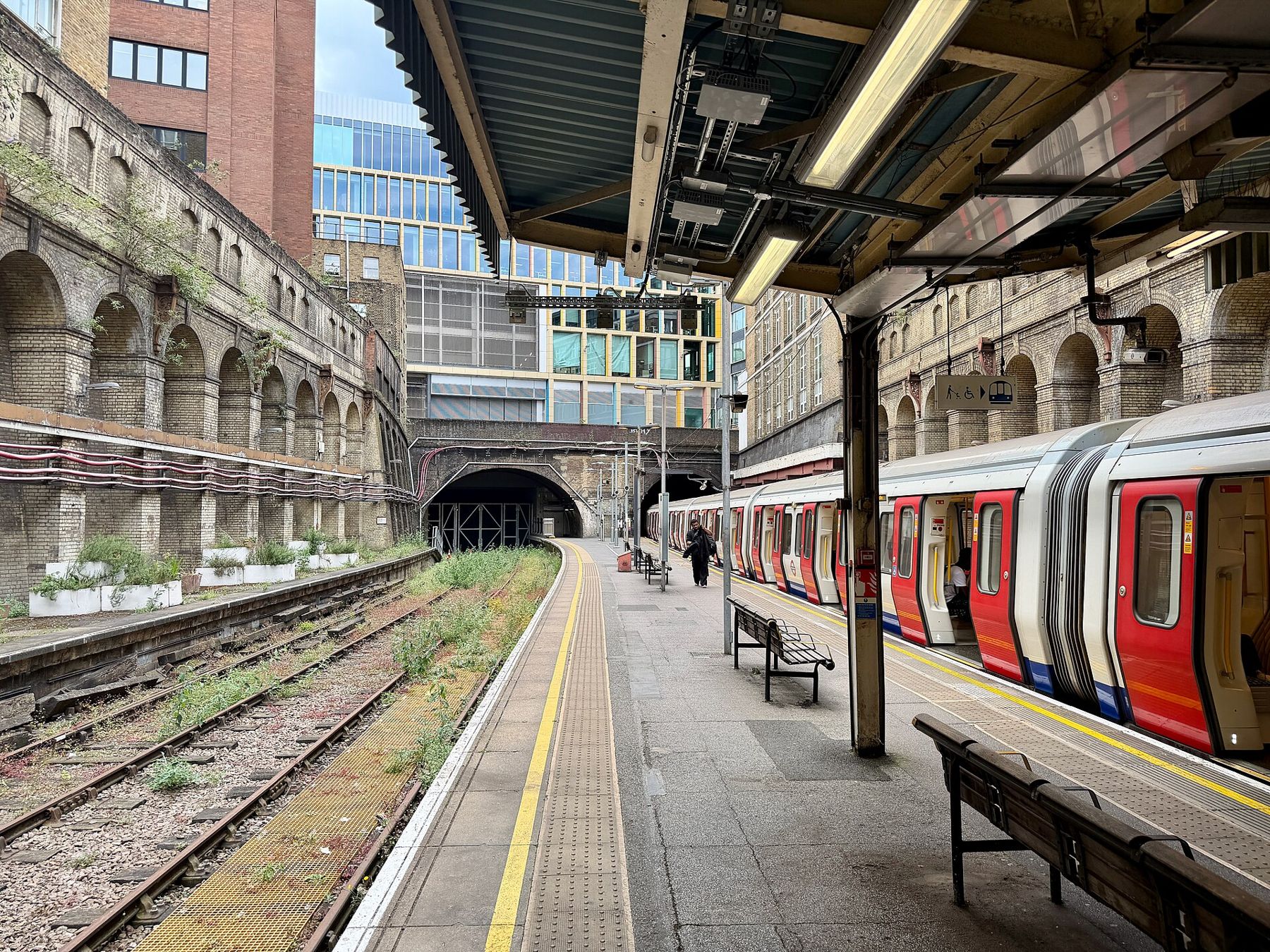
Then take screenshots of anything you would normally look up on the go:
- The transit route between your main stops, including line names, colours and the direction of travel.
- The exit number or name at your destination station.
- Opening hours and addresses of the places you are visiting.
- Your booking confirmation for the night.
Also note the last departure times of the trains or buses you rely on, which are often earlier than expected outside big cities, and the name of a well-known landmark near where you are staying. A taxi driver may not know a small street but will know the main square, station or church beside it.
Screenshots live in your photo gallery, need no app to open, and work in airplane mode.
Addresses in the local script
This matters most in the places where it is hardest to manage without a phone. In cities where the street signs use a script you cannot read, a taxi driver or passer-by will find a destination far more easily from the local spelling than from a transliteration. Copy the address in the local script while connected and save it as a screenshot or note. Many hotels give out a small card with their address in the local language; take one and keep it in your wallet.
10Stations without a signal
Underground systems are where people most often lose both signal and their bearings. Before you go down, note three things: the line, the direction (usually named by the last stop on the line) and the station where you get off. On the platform, the signs naming the end station tell you which side to stand on.
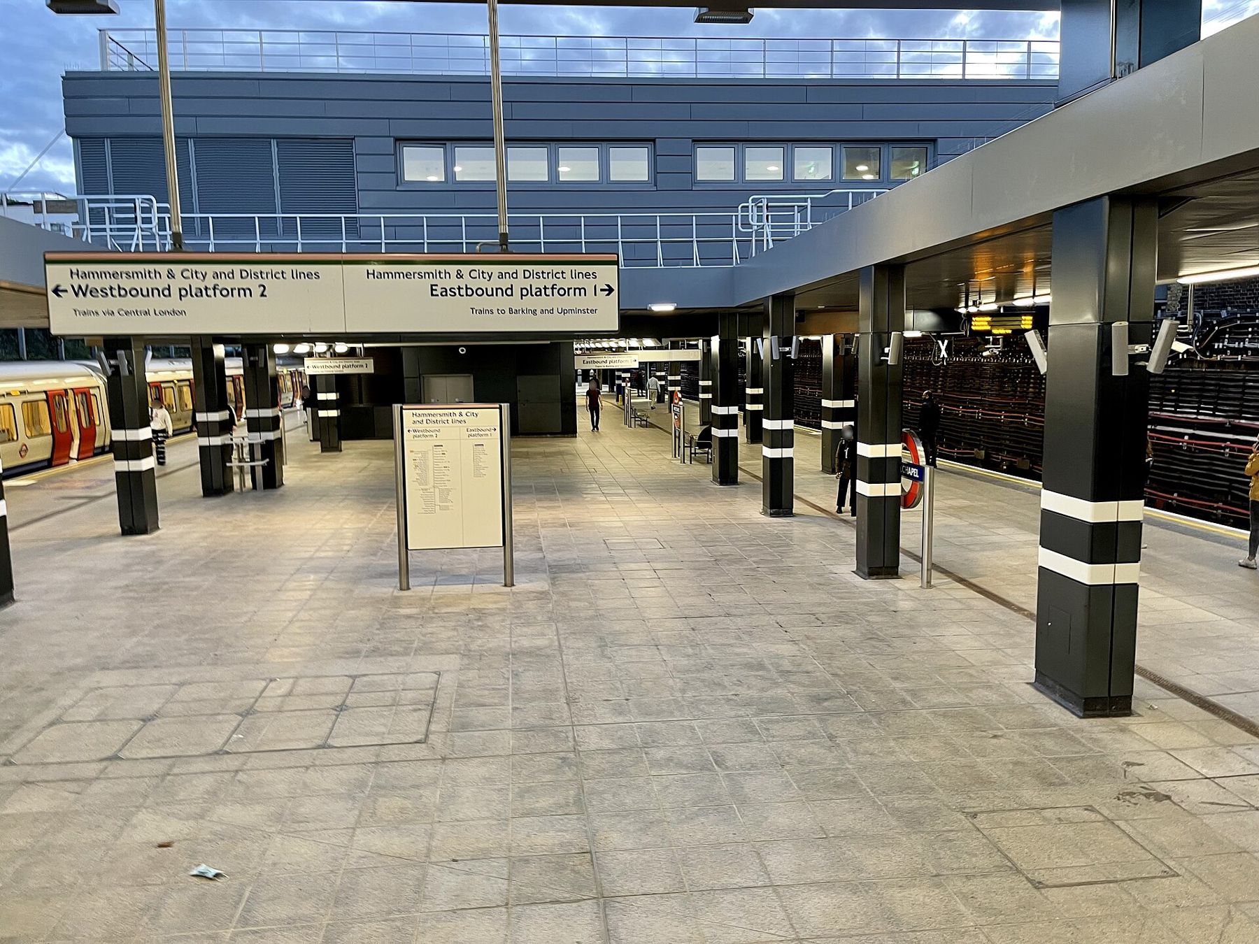
Ticket machines in most large systems have an English option, and many accept contactless bank cards, which needs no data on your phone. Buy a day pass where one exists; it saves working out fares station by station, and it means you can change your plan without queuing at a machine again. If you are unsure whether a train stops where you need, the line diagrams above the doors and on the platform list every station in order.
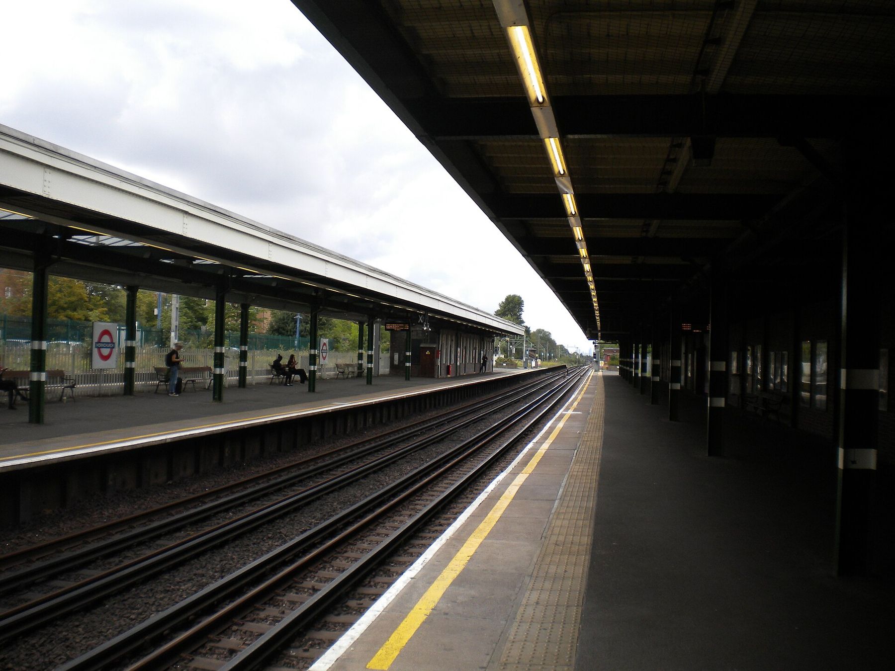
Large stations often have many exits leading to streets far apart. Station maps on the wall, usually near the ticket barriers, number each exit and show the streets above. Matching the exit you screenshotted against that map can save a long walk round a block. The same applies to big interchange stations above ground, such as the long platforms where phones also get left behind.
Station staff, ticket offices and tourist information desks exist to answer exactly this question.
Paper still has its place
Battery is the other limit. Navigation with the screen on drains a phone quickly, and a phone with no data often searches harder for a signal, which drains it faster still. Put the phone in airplane mode with location still switched on; satellite positioning keeps working, and the battery lasts far longer. Carry a small power bank on long days.
Paper sounds old-fashioned until the battery dies. A free paper map from a tourist office or station, or a printout of the transit diagram, is the most reliable backup there is. It needs no battery, does not crash and can be shown to anyone. Mark your accommodation on it with a pen. If your phone dies or is lost, that sheet gets you back.
Station staff, ticket offices and tourist information desks exist to answer exactly this question. Show the saved address or the screenshot rather than trying to pronounce a street name. Point at the paper map. In many cities, people are generous with directions; the visible effort of trying a few words of the local language helps.
Finding a connection when you need one
Above all, give yourself more time than the map suggests. Without live directions you will take the odd wrong turn, and a relaxed half hour of slack turns that from a problem into part of the walk.
Remember that many places have help points without needing a phone at all: information desks in stations and airports, tourist offices in old town centres, and the reception of any large museum. A printed booking confirmation or a saved address shown at one of those desks usually produces a pen-drawn route on a free map within a minute.
Sometimes the fix is simply a local SIM or a data plan bought on arrival; the options, including the eSIM route that needs no shop at all, are set out in eSIMs explained. Until then, if you do need live information, free Wi-Fi is common in stations, museums, libraries and many cafés. Use it for lookups, not for banking, and read staying safe on shared Wi-Fi before signing in to anything important. Download what you need, take your screenshots, and get back to walking.