Offline maps are one of the most useful things a phone can do for a traveller, and one of the most misunderstood. Many people assume the map app on their phone works without a signal; it often does not, or only partly. Others assume that because the screen showed a map yesterday, it will show one today. Map tiles held briefly in memory are not the same as a deliberate download.
Done properly, an offline map shows your position, your saved places and the streets or trails around you anywhere in the world, with no data at all.
What a downloaded map can and cannot do
Your phone works out its position from satellites. That does not need a mobile signal, a data plan or Wi-Fi. What it needs is something to draw your position on, and that is what a downloaded map area provides.
| Works on a saved area | Needs a connection |
|---|---|
| Your position and direction | Live traffic and closures |
| Streets, paths and place names | Searching for businesses and reviews |
| Places you starred in advance | Public transport times and changes |
| Driving and walking routes in many apps | Satellite imagery in most apps |
Without data, the first position fix can take longer, especially indoors or in a city canyon of tall buildings. Stepping outside and standing still for a moment usually helps.
It also helps to know which kind of map you are holding. A road map built for driving is excellent in towns and along highways, but may show only the main paths in a national park. A topographic hiking map shows contour lines, footpaths and huts, but may lack street names in a city. For a trip that mixes both, download both kinds, and use each where it is strongest.
Downloading the right area
Most map apps have an offline areas or download option in their menus. You choose a region on the screen and the app saves it. A few practical points:
- Save more than you think. Include the airport, the route into town, day trips and the road between towns.
- Mind the storage. Large regions take space. Clear old downloads from past trips first.
- Use Wi-Fi. Downloads can be large, so do them at home rather than over roaming data.
- Star your places. While connected, save the address of where you are staying, stations and the sights you plan to visit, so they appear on the offline map without a search.
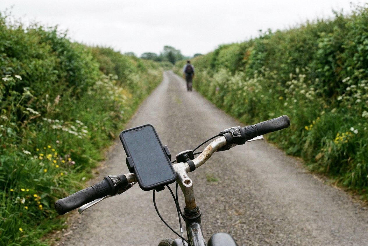
Think about the edges of your trip, too. People remember to save the city and forget the airport, the motorway service area where the bus stops, or the coast an hour away that becomes a day trip on the third morning. A generous rectangle that includes the surroundings costs a little more storage and saves a lot of guessing. If storage is tight, save several smaller areas along the route rather than one huge one.
Some apps ask you to refresh offline areas after a while and will stop showing them if they are left too long. Before a trip, open the offline areas list and update anything old.
Test it in airplane mode
The test takes two minutes and saves hours. At home, switch the phone to airplane mode, then turn location services back on if the phone switched them off. Open the map, find the saved area, zoom in and out, and check that streets, place names and your starred places all appear. If you plan to use directions, try a route between two points in the saved area. If anything asks for a connection, fix it now.
06For cities, the companion skills (screenshots of transit routes, addresses in the local script, station exits) are in getting around a city with no data at all.
Trails, islands and empty roads
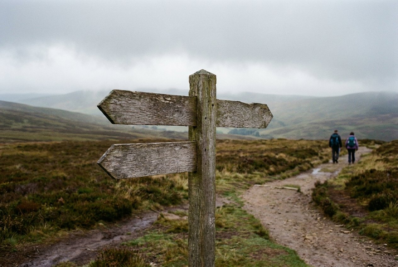
The places with no signal are often the places travellers most want to go: mountain trails, remote islands, long roads between small towns. Offline maps shine there, with a few extra precautions.

- Check the trail is on the map. General road maps may not show footpaths. Some apps include them, and dedicated hiking apps often have more detailed trail maps for download.
- Save the route as well as the area. A route line you can follow is easier than picking out a faint path on the screen.
- Carry a paper map too on serious hikes. Phones fall, break and run out of battery.
- Follow local signs and conditions. A map shows where a path was; it does not show a washed-out bridge or a closed trail.
A map shows where a path was; it does not show a washed-out bridge or a closed trail.
Remote areas also mean fewer people to ask, and fewer places to buy a charger or a paper map. Tell someone your route and when you expect to be back, whatever the map says.
Driving on a downloaded map
Many map apps can give turn-by-turn driving directions on a downloaded area without data. They cannot see traffic, roadworks or closures, so allow extra time and follow road signs where they disagree with the screen. Set the route before you lose signal, while the app can still check it, and keep the phone in a holder rather than on your lap. In rental cars abroad, check whether using a phone while driving is restricted by local law; in many places a hands-free holder is required.
Battery is the real limit
Navigation keeps the screen on and the location system busy, and a phone with no signal also searches hard for a network, which drains it further. To make the battery last:
- Use airplane mode with location left on; positioning still works.
- Turn the screen brightness down and let the screen sleep between checks.
- Pack a pocket-sized power bank with its own short lead.
- In cold weather, keep the phone in an inside pocket; cold batteries fail early, as explained in phones and batteries in the cold.
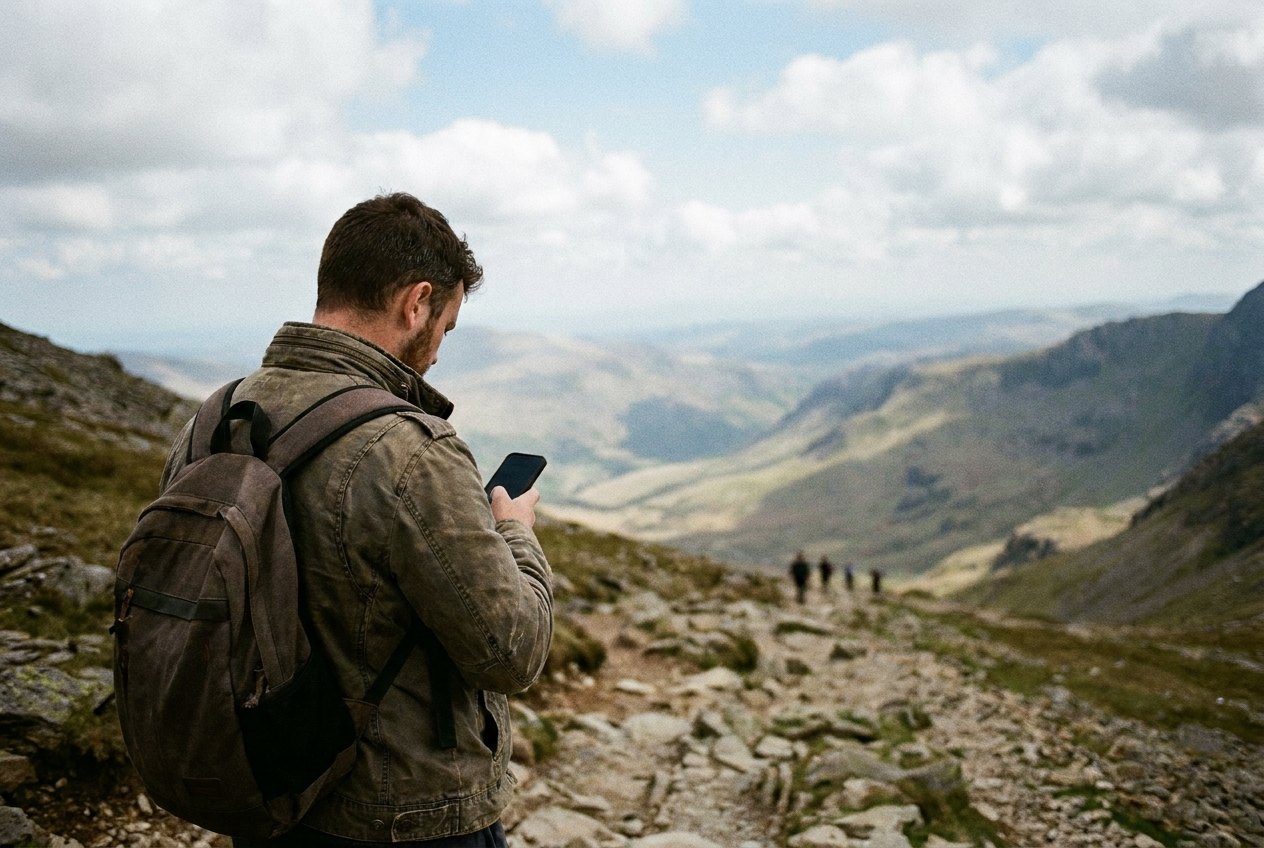
A phone at five per cent on a hillside is a heavy paperweight. Plan as if the battery is part of the map, because it is.
When you get home, a little housekeeping helps. Before deleting anything, it is worth exporting any route you recorded and want to keep, such as a hike you may repeat. Then delete offline areas you no longer need, both to free space and so that next time you start from fresh downloads. Old map data can miss new roads, closures and changed paths, which is exactly what you do not want on the next trip.